The new, sleek, high-tech gravity satellite is dubbed the ”Formula 1” of spacecrafts, as it embodies many firsts in terms of design and technology, all set to make the mapping of Earth’s gravity field possible. The Gravity Field and Steady-State Ocean Circulation Explorer (GOCE) is the most advanced gravity space mission to date, and scientists are excited with the new broad range of possibilities opened for the fields of oceanography, solid Earth physics, geodesy, and sea-level research. Furthermore scientists are hopeful the mission could also provide new information for understanding Earth climate change processes.
Although invisible, gravity is a complex force of nature that has an immeasurable impact on our everyday lives. It is often assumed that the force of gravity on the surface of the Earth has a constant value, but in fact it varies subtly from place to place. These variations are due to a number of factors such as the rotation of the Earth, the position of mountains, ocean trenches, and variations in density of the Earth’s interior.
The satellite mission is expected to last about 20 months. During this time, GOCE will map these global variations in the gravity field with extreme detail and accuracy; the result will be a unique model of the geoid, which is the surface of equal gravitational potential defined by the gravity field. The geoid is crucial for deriving accurate measurements of ocean circulation and sea-level change since both are affected by climate change; researchers assume we can learn more about global warming as well. Data obtained from GOCE could also be used to understand more about processes occurring inside the Earth and for use in practical applications, such as surveying and leveling.
Since the gravitational signal is stronger closer to Earth, the “arrow-like” five-meter long GOCE satellite has been designed to cut through of what remains of the Earth’s atmosphere at just 250 km above the surface of the planet. This low-orbiting spacecraft is the first mission to employ the concept of gradiometry – the measurement of acceleration differences over short distances between ensembles of proof masses inside the satellite.
The satellite is equipped with three pairs of ultra-sensitive accelerometers arranged in three dimensions that respond to tiny variations in the “gravitational tug” of the Earth. As it travels along its orbital path, it collects data about these “tugs.” Because of their different positions in the gravitational field they all experience the gravitational acceleration of the Earth slightly different; the three axes of the gradiometer allow the simultaneous measurement of six independent but complementary components of the gravity field, thus eliminating the option that some variable will be left out.
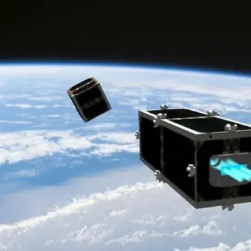
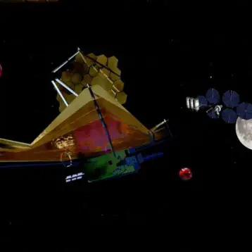
Although the gradiometer forms the heart of the satellite, to measure gravity there can be no interference from moving parts so the entire spacecraft is actually one extremely sensitive measuring device. The construction of such a unit requires extreme delicacy, but according to ESA, on September 2009 it will be ready to launch. This video illustrates the spacecraft in orbit.
TFOT has also covered Israel’s launch of Ofeq 7, a new spy satellite, and the successful downing of a malfunctioning U.S. spy satellite, made in February of 2008. Other related TFOT stories include the first high definition image of Earth, taken by the Japanese Lunar explorer KAGUYA, and the explosion of a star caught by NASA’s Swift Satellite.